
Albany Neighbors by Block Sources
Public sources describe a block in different ways. A parcel map shows land geometry and identifies the adjoining tax lots. A survey or plat explains lot boundaries. A recorded instrument can connect a parcel to a document reference, while a dated directory can provide a historic household clue. None of these sources proves that every person connected to an address lives there now. Albany also crosses Linn and Benton county lines, so the first task is to confirm which county owns the parcel record.
| Source | What It Shows About a Block | Access |
|---|---|---|
| Linn Planning map or Benton tax-lot layer | Adjoining parcel geometry, tax-lot or account identifiers, and available situs or mailing fields | Use the actual county map and select the adjacent parcel |
| Surveyor or plat record | Lot lines, subdivision, corner, and legal context for what is truly adjacent | Search by survey, plat, tax lot, or legal identifier; images vary |
| Recorded deed index | Document reference, recorded parties, date, and legal description tied to a parcel | Follow the correct county recorder route and request the document when needed |
| Albany city directories and the 1948 guide | Publication-year street or household clues where a volume covers the address | City PDFs, library, museum, or research room; known gaps apply |
| Voter records and civic programs | Limited statutory list information or an official program contact route | Formal records request or agency contact, never a public block browser |
An assessed owner is not automatically an occupant. A tax mailing field can point to a correspondence destination rather than the site. Preserve the distinction between the situs, the physical parcel address, and a mailing address. The parcel identifier and legal description are the better join keys for comparing maps, deeds, and surveys.
Note: A ZIP code or an Albany city label does not choose the correct county property system.
Albany Parcel Maps for Neighbors
The Linn County Maps and GIS hub leads to the planning and map applications used for Linn-side parcels. The Linn Planning map has a one-line Situs Address Search and Address Locator, both with partial matching. Exact tax-lot lookup uses PIN or ACTNUM. Its map layers provide address, zoning, planning, floodplain, roads, and parcel context, but a map result is not an ownership proof or a current-neighbor list.
Linn County Maps and GIS is the official starting point for a Linn-side Albany parcel.
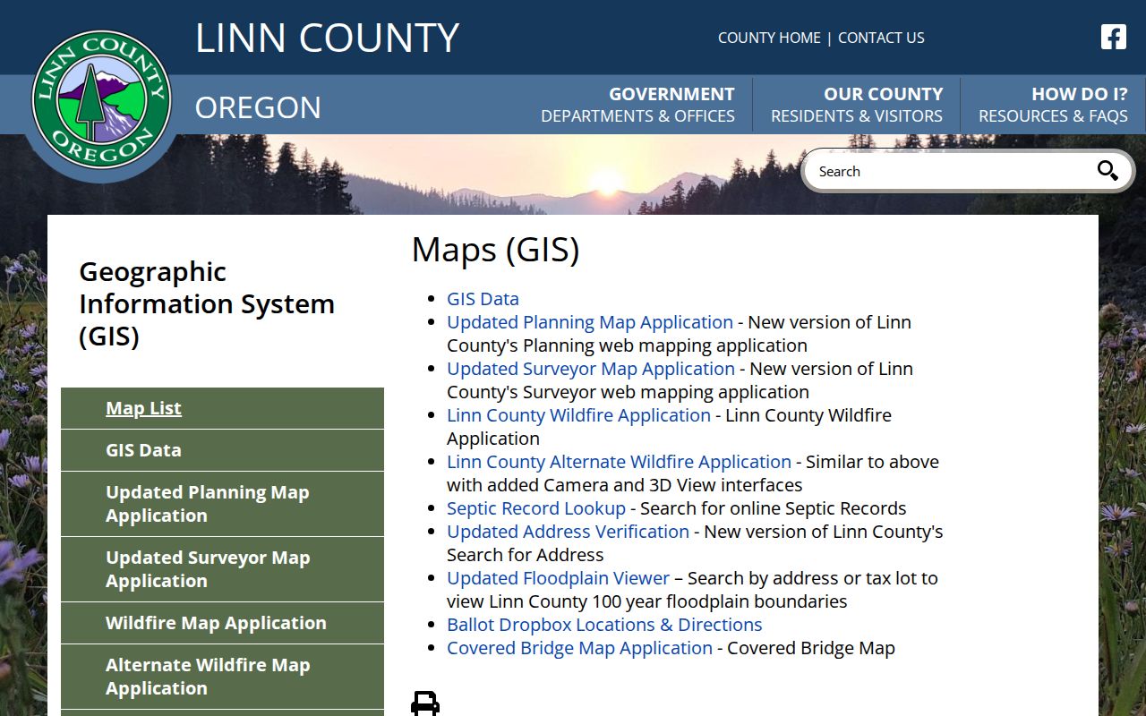
Use the map to collect the parcel identifier and jurisdiction, then check the record source that matches the question.
The Linn Surveyor Database Viewer has different search choices: survey number, survey book or page, corner number, subdivision, township/range/section, tax lot, and name. A survey can clarify a boundary or legal description. It does not establish current household composition. For an Albany parcel in Benton County, the Benton TaxlotOwners service exposes party fields, site address and ZIP, mailing fields, tax lot, map-tax-lot, acreage, account, and other parcel identifiers.
Mapping an Albany Neighbor Block
Use a conservative adjacent-tax-lot process. Map shapes that seem to meet on screen can have a boundary, subdivision, or plat detail that changes the legal relationship. Record only the parcel facts necessary to tell lots apart. Do not convert an owner or mail recipient into a claim about who lives at the property.
- Search the exact site in the appropriate county planning or parcel map. Copy the PIN or ACTNUM, account or tax-lot number, legal description, situs address, and county jurisdiction.
- Zoom only to lots that immediately touch the target parcel. Note the visible parcel identifiers and any party or mailing fields without treating them as household evidence.
- Open a survey, plat, corner record, or subdivision record to verify that the mapped lots are separate legal parcels and to understand the boundary.
- Use the recorder index for the same county to locate a recorded document. Compare its legal description, party, and recording date with the parcel before drawing a parcel relationship.
- For a historical block question, check a directory or map from the relevant year and state its date and collection gap.
For a Benton-side property, the Benton TaxlotOwners layer distinguishes SITEADDRESS and SITUSZIP from MAILADDR and mailing ZIP fields.
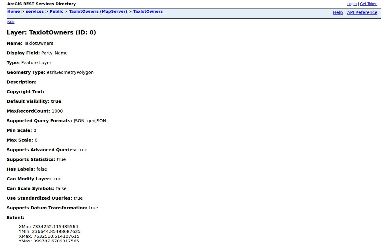
That field split is a reason to retain both values, not an invitation to infer that a mailing recipient is a nearby resident.
A full named-street record trail needs a broader address workflow than this immediate-block method. The Albany street directory is the appropriate route when the question shifts from adjacent parcels to a whole street.
Civic Routes for Albany Neighbors
Albany publishes a citizen advisory-group inventory, which is useful for civic participation and City Clerk contact. It is not a verified public directory of all neighborhood groups or their members. The City’s Police Neighborhood Watch program is a local route for coordination, but the research found no searchable household roster or public street-by-street participant list. Use these official contacts to ask about programs, not to identify members from an address.
City Advisory Groups
Albany’s council advisory-group listing identifies the city’s civic participation route. It does not verify a boundary or membership list for every locally used neighborhood name.
Neighborhood Watch
Albany Police Neighborhood Watch provides a coordination path. Contact the program rather than expecting an address-searchable participant directory.
Albany Police Neighborhood Watch is a civic-contact route, not a member lookup.
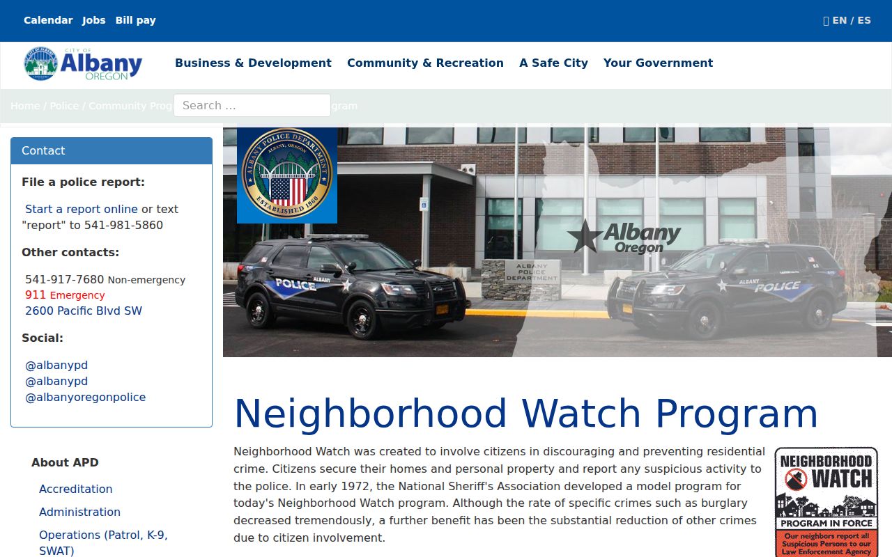
The program is a way to seek local coordination while respecting the absence of a public participation roster.
Albany’s department directory provides the City contact path for public services and department questions.
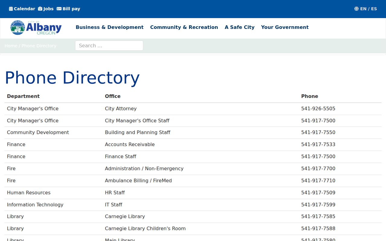
Department contact information can help route a civic question without making an unsupported claim about a neighborhood organization.
Official and Commercial Albany Neighbor Tools
Official sources and commercial neighbor-lookup categories serve different purposes. Official maps and records identify the source, county, date, and fields behind a result. Commercial tools may combine older public material, normalized addresses, and sources that a user cannot inspect. Their apparent convenience does not establish a parcel match, entry date, or identity. Return to the actual county account, recorded document, dated directory, or authorized custodian when a fact matters.
| Category | Useful for | Limit to keep in view |
|---|---|---|
| County parcel and GIS records | Parcel geometry, identifiers, situs, and available tax fields | Assessed party or mailing field does not prove present occupancy |
| Recorder and survey records | Legal descriptions, recording references, boundary context, and documentary trails | Use the correct county and read the full record rather than relying on an index hit |
| Historic directories and maps | Dated address, household, building, or street context | Publication years, gaps, and map era limit what they can establish |
| Commercial neighbor-lookup category | An unverified lead that may prompt a custodian check | Source, update cycle, county match, and identity match may not be inspectable |
Albany makes the county check especially important. The city name or ZIP can match an address while the parcel, recorder, and assessment channels belong to different counties. The right record has a county, parcel identifier, and date that can be checked again.
Historic Albany Neighbor Clues
Historic research is useful only when its date is kept visible. Albany’s digitized city directories begin in 1878 and include a separate 1948 Householders Guide with an address-oriented arrangement. The collection has stated gaps from 1912 through 1936 and 1942 through 1946. A missing directory entry in those spans cannot prove that an address had no household. Search the nearest available year, inspect the page image, and compare it to the parcel’s legal description or dated deed trail.
The 1884 four-sheet Albany Sanborn map set supplies building and street context for Albany, Linn County at that map date. It does not cover the later Benton portion of the city or establish who lived at a site. Albany Public Library, Albany Regional Museum, and the Linn Genealogical Society can help with historic directories, maps, photographs, and research requests. A photo caption is context, not a complete household record.
Historic Albany Photos Online is a joint local history collection for place and date context.
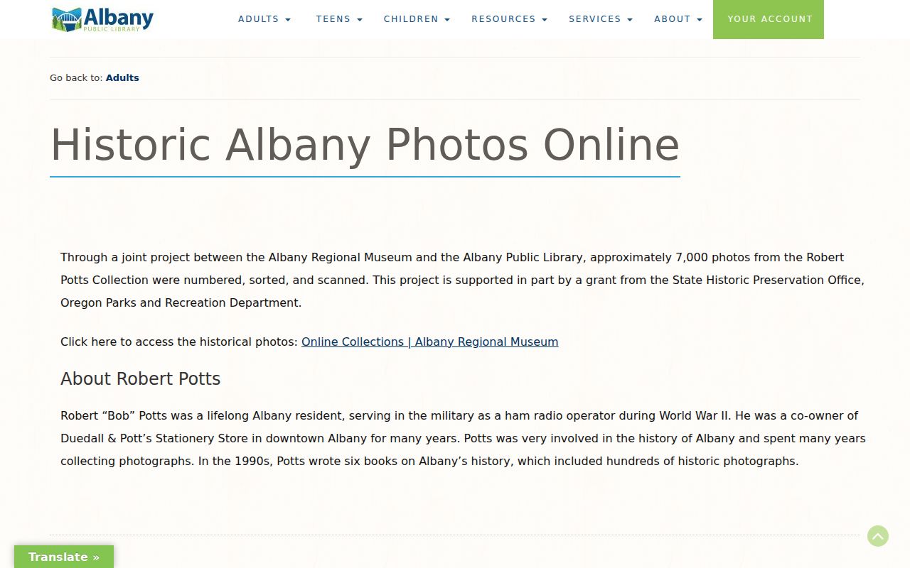
Pair a historic image or directory line with the appropriate year, parcel evidence, and source note before connecting it to a block history.
Note: No official Albany-wide street-renumbering table was verified, so each apparent address change needs map, plat, directory, and legal-description research.
Albany Neighbor Voter Rules
Oregon My Vote is an elector self-service gateway, not a public browse tool by street or address. A voter list follows the state or county request process and contains only statutory public elements after exclusions. Address Confidentiality Program participants and other protected information are excluded. Full birth month and day, Social Security and driver-license numbers, signatures, and ballot choices are not public. A county list cannot be repurposed into a commercial street list under ORS 247.955.
For a civic or election question, use Oregon My Vote for an elector’s own record, or follow the official voter-list request route. Neither route establishes a complete list of Albany neighbors, and an inactive registration is not address confirmation.
Albany Neighbor Privacy Limits
An address search cannot disclose every person connected to a block. Parcel records do not reliably show household relationships, every unit-level connection, delivery accounts, protected addresses, or driver-license address data. USPS can validate delivery format, but it warns that a result does not confirm a person or company at the address. Postal ZIPs are not county boundaries, municipal districts, voting precincts, or parcel-ownership zones.
Oregon’s Address Confidentiality Program protects actual addresses for qualifying participants through a substitute-address system. Other public-record nondisclosure provisions and voter safety exemptions may also limit displayed information. The Oregon Consumer Privacy Act can apply to covered commercial controllers, but it does not require a public office, recorder, court, library, or archive to erase an official record. To correct a government record, contact the custodian that holds it.
Lawful use. Albany neighbor research is for personal, lawful curiosity, block history, and civic contact. Public records never authorize stalking, harassment, monitoring, threats, or harm; Oregon law treats such conduct seriously.